Big Dude
Region: Hartwell Canyon
Distance- 2.75 mi
Elevation- 1,000’
Duration- 3.5 - 4.5 hours
Difficulty- Easy
Descent- 4 rappels, up to 90’
Rope- 2 x 100’ or 1 x 200’
Anchor Materials: 35’ of webbing + 4 rapides
Driving Directions: Park at the End of Rope parking, just past Hartwell Canyon on your right, and before the Loy Canyon TH. There is an obvious pull off on the right side with a large dead tree to sit on for tour photos. This lot sees a lot of jeep tour traffic, please be courteous and leave room for others.
Overview: A less traveled route with beginner friendly rappels in a remote wilderness setting. If you’re looking to get away for an easier half day but still want that feeling of solitude, Big Dude might be just the adventure for you.
Rarely seen petroglyphs
Straight forward rappels
Scenic Approach
Approach: Starting at End of Rope Parking, follow social trails toward the main approach gully. Cross over a small drainage and follow the gully up on the left side. Continue up the gully past a rockslide and to a 10’ crack that is the crux for most. The crack can be climbed on the outside, or more easily by going up under a large, choked tree. Continue up to the top of the gully, reaching a cozy saddle with panoramic views of Hartwell Canyon. From the saddle continue down to the main red rock bench and continue left or north passing over the watercourse for Hawk and soon arriving at the start of Big Dude.
R1: 90’ from a tree on the right
R2: 40’ from a tree on the right
R3: 65’ from a tree on the right
R4: 25’ from a large boulder
You may encounter one more drop that can be downclimbed or bypassed on the left side.
Exit: Continue down the drainage until it merges with Hartwell Canyon. Take a right into the main drainage and continue boulder hopping to the turn off for the exit gully. Take the gully ~400' up and over a saddle. Weave through manzanita and locate social trails back to End of Rope parking.
Preservation: Please respect archaeological sites and sensitive terrain along your journey.
Route Established By: Garrett Bennett & Holly Dison
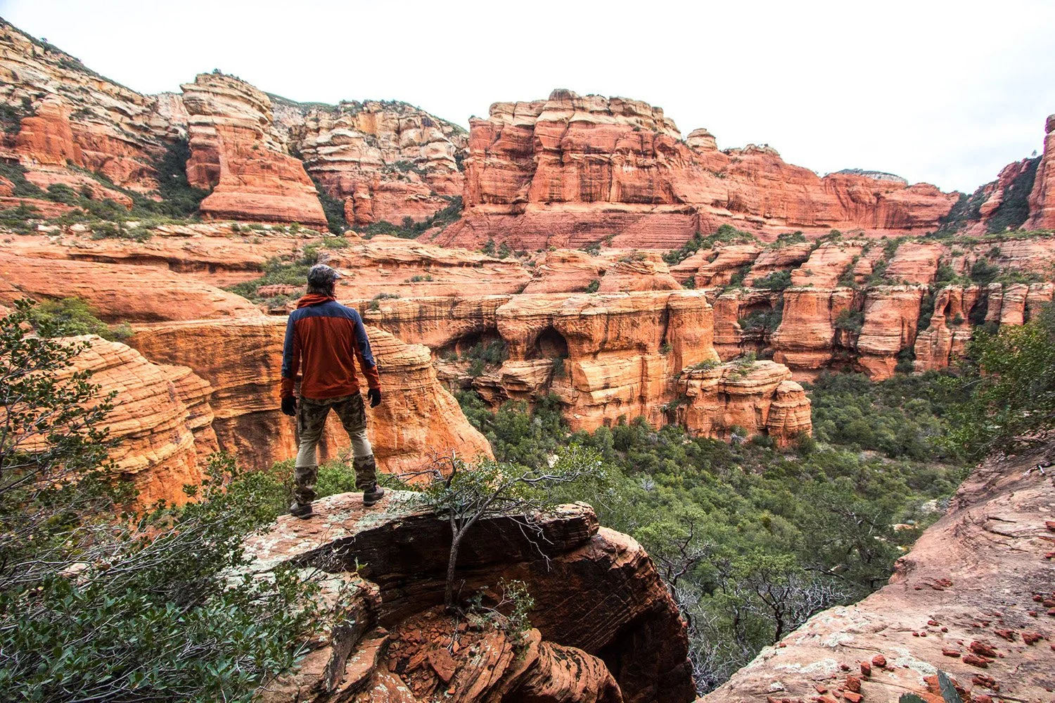
Unlock your digital guide to Sedona Canyoneering and off trail adventures. The Sedona Canyoneering Guide Map is the first guidebook that has been embedded into a gps file. Years of work have gone into this project, so that you can have all the information you need and more, right in the palm of your hand.
Over 45 Canyoneering Routes
Parking & Camping Locations
Detailed Approach & Exit Descriptions
Route Specifications- Difficulty, Distance, Duration, # of Rappels
Un-published Hikes & Summits
Bonus Points of Interest
***The file download is in GPX format, for KML (best with google earth) or other formats, please email sedonacanyoneering@gmail.com